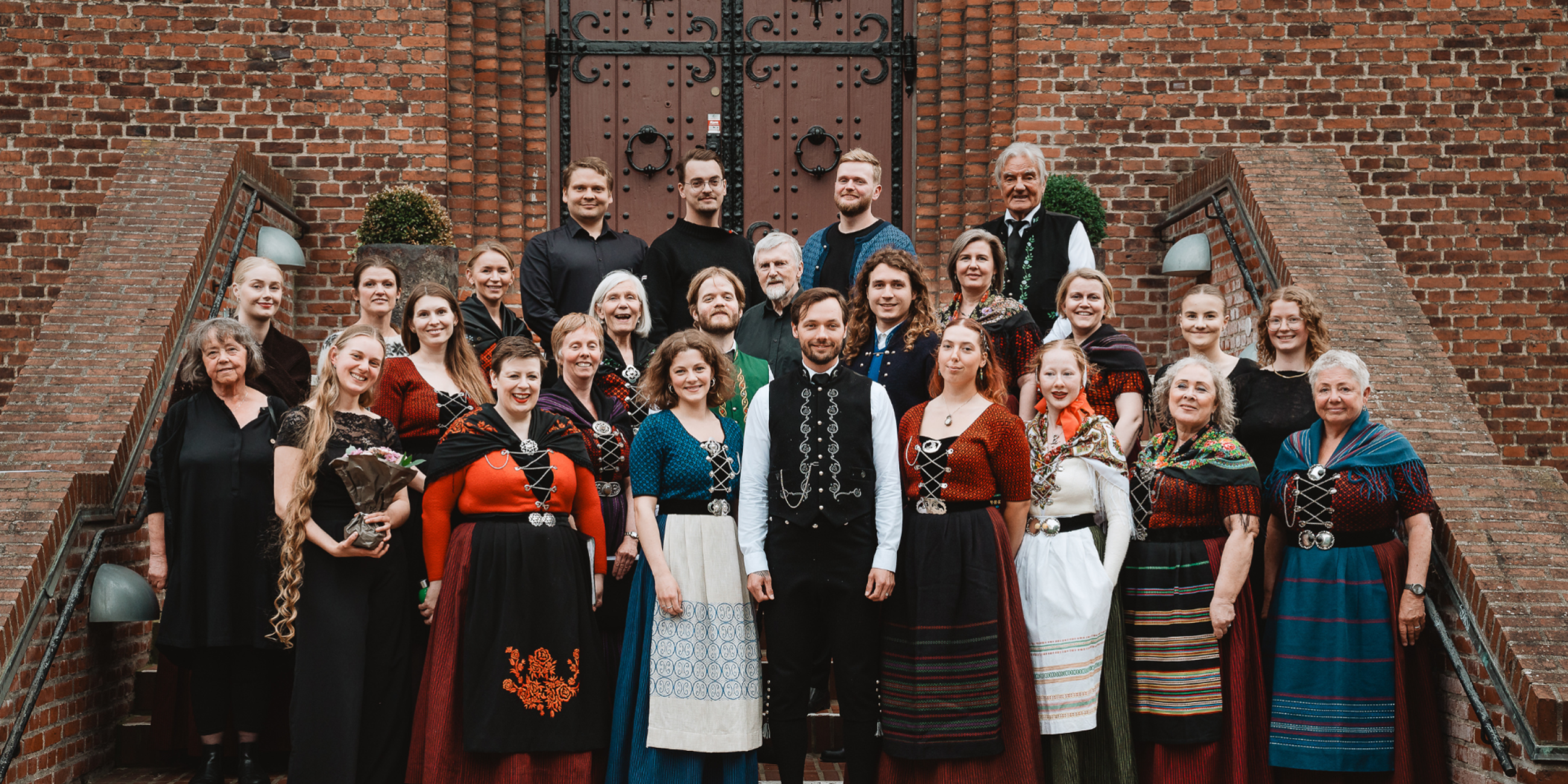
Húsakórið kan på lørdag d. 20. maj opleves for fuld udblæsning på Plænen i Tivoli. Koncerten, der starter kl. 17:40, er en del af Kordage i Tivoli, hvor et væld af kor synger for at fejre korsang og glæden ved at synge.
Det er andet år i træk, at Húsakórið deltager til Kordage i Tivoli, og vi glæder os enormt meget til at synge smukke sommersange om sol, 18 øer i Atlanterhavet og meget, meget mere. Vi synger fra kl. 17:40 til 18:00.
Vi ses forhåbentligt på Plænen!

Mere om kordage i tivoli
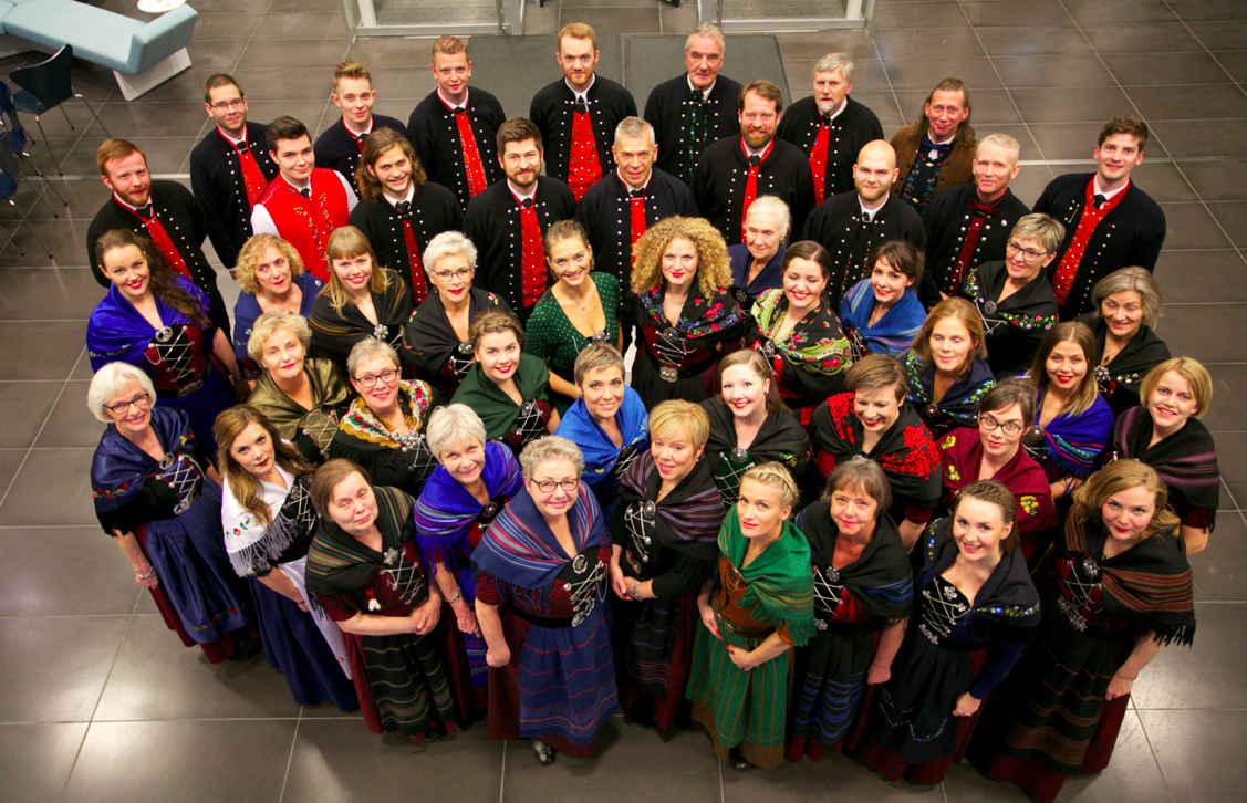
Tivolis gæster kan glæde sig til et bredt og varieret udvalg af korsang fra hele 37 kor fra Middelfart til Malmø og Færøerne. Sangglæden skal fejres med stort S, og Korene afslutter Tivolis korsæson af med 20 minutter lange koncerter på Pantomimeteatret, Plænen og i Orangeriet.
Forskellighed er en styrke, og på Kordage kan du opleve alt fra klassisk, rytmisk, rock, pop til musical, barbershop og viser. Kordage i Tivoli er arrangeret i samarbejde med kororganisationen Kor72, som arbejder for at fremme amatørkorsang i Danmark – blandt andet gennem korstævner som Kordage i Tivoli. Kordage i Tivoli blev afholdt for allerførste gang i 2009, og da drejede det sig kun om en dag. Allerede i 2010 blev det dog til to kordage.
Her finder du hele programmet for Kordage i Tivoli 2017:
Your article helped me a lot, is there any more related content? Thanks!
How Long To Hike The Pacific Crest Trail (PCT)?
How Long To Hike The Pacific Crest Trail
Hiking the entire Pacific Crest Trail (PCT), which spans approximately 2,200
miles from Canada to Mexico, is a monumental achievement that takes significant preparation and time.
The duration depends on your pace, fitness level, and the
route you choose.
How Long Does It Take One To Complete PCT Hike?
The average hiker takes between 4 to 6 months to complete the PCT.
This timeframe accounts for an average of about 10-12 miles per day.
However, your speed will vary depending on terrain, elevation changes, and rest days.
Southbound VS. Northbound PCT Approach
Most hikers choose either the southbound or
northbound direction. Southbound starts at Mexico and ends in Canada, while northbound does the opposite.
The choice depends on your start date and preference for crowded trails or solitude.
When To Start A Southbound PCT Hike
The best time to hike southbound is from late March to early October.
This avoids extreme summer heat in the desert
sections and ensures cooler temperatures in higher elevations during autumn.
When To Start A Northbound PCT Hike
Northbound hikers typically begin in July or August, when the Sierra Nevada snow has melted.
Early starts allow time to acclimate before reaching the highest peaks.
What Equipment And Gear Do You Need For The PCT?
Essentials include sturdy hiking boots, a waterproof jacket, multiple
layers of clothing, a 4-season tent, a sleeping bag rated for 20°F, GPS
device, and a first aid kit. Pack light but ensure you have all critical gear for unpredictable conditions.
Conclusion
Hiking the PCT is an exhilarating challenge that rewards perseverance with breathtaking views.
Proper preparation, choosing the right season, and
selecting the best route will enhance your journey.
Consider your fitness level, experience, and preferences to plan a successful thru-hike.
Read This Next
How To Get To Rainbow Canyon in Death Valley
Yes, People Live In Death Valley, California
Death Valley is home to a vibrant community of residents who adapt to its harsh environment.
Many live in small towns like Furnace Creek and Stovepipe Wells, enjoying the
unique landscape and outdoor activities.
The Best Times To Visit Death Valley National Park
Peak season is from November to May, with cooler temperatures ideal for exploring.
Summer can be scorching, but early mornings offer great views before the heat sets in.
What To Wear To Hike Sand Dunes In Death Valley National Park
Wearing loose, breathable clothing is essential for sand dune hiking.
Sunscreen, a hat, and sturdy footwear protect against the elements.
Bring water and plan for shade to avoid heat exhaustion.
What Death Valley In California Is Known For
Renowned for its natural beauty, Death Valley features iconic landscapes like
Badwater Basin and the Panamint Range. It’s also known for its extremes in temperature and elevation changes.
What Is A Compass, And What Is It Used For?
A compass is a navigational tool used to determine direction and location. Essential for hikers, it helps navigate trails,
find water sources, and stay on course in unfamiliar terrains.
my blog – anabolic Steroid side effects pictures
I don’t think the title of your article matches the content lol. Just kidding, mainly because I had some doubts after reading the article.
Thanks for sharing. I read many of your blog posts, cool, your blog is very good.
Your article helped me a lot, is there any more related content? Thanks!